Extreme Heat & Water Scarcity Mapping
BC communities face serious challenges from extreme heat events and from water scarcity. Managing these challenges calls for comprehensive and standardized data.
Best Practices for Extreme Heat and Water Scarcity Hazard, Risk and Adaptation Mapping is a collaborative initiative. It will develop guidance for BC communities that are doing mapping projects focused on extreme heat and on water scarcity.
Extreme Heat Mapping Practices

The Risks of Extreme Heat in BC
Across British Columbia, there is growing recognition of the impacts of extreme heat on the environment, agriculture and critical infrastructure and on people’s health and well-being. Among the known impacts are heat-related illnesses, illness from worsened air quality and smog, longer and more intense allergy seasons, greater spread of food crop pests, and changes in the spread of zoonotic infectious disease.
The risks are of extreme heat are also higher for those people who:
More information on extreme heat can be found at ClimateReadyBC.
About the Extreme Heat Mapping Practices Project
The 2021 heat dome in BC highlighted the disproportionate impacts extreme heat has on equity-denied populations in rural and urban communities. The BC Coroner Services released a report that addressed human deaths from the heat dome and identified actions to prevent future fatalities.
In collaboration with their partners, BC communities and support organizations are actively responding to extreme heat risks. Key actions include: developing Heat Alert and Response Plans, adapting agricultural practices and establishing public cooling centres, water fountains and wellness checks. Lessons have been learned from the experiences of heat-vulnerable and equity-denied groups of people on how to improve future extreme heat preparedness and response.
Through the Climate Preparedness and Adaptation Strategy (CPAS), the Province of BC is working to support extreme heat planning and risk reduction measures. Under CPAS, the Community Emergency Preparedness Fund (CEPF) was revised in 2022 to include funding for communities to undertake extreme heat hazard, risk and adaptation mapping. This work provides the foundation for policy and program development and for the implementation of measures to enhance community-level resilience.
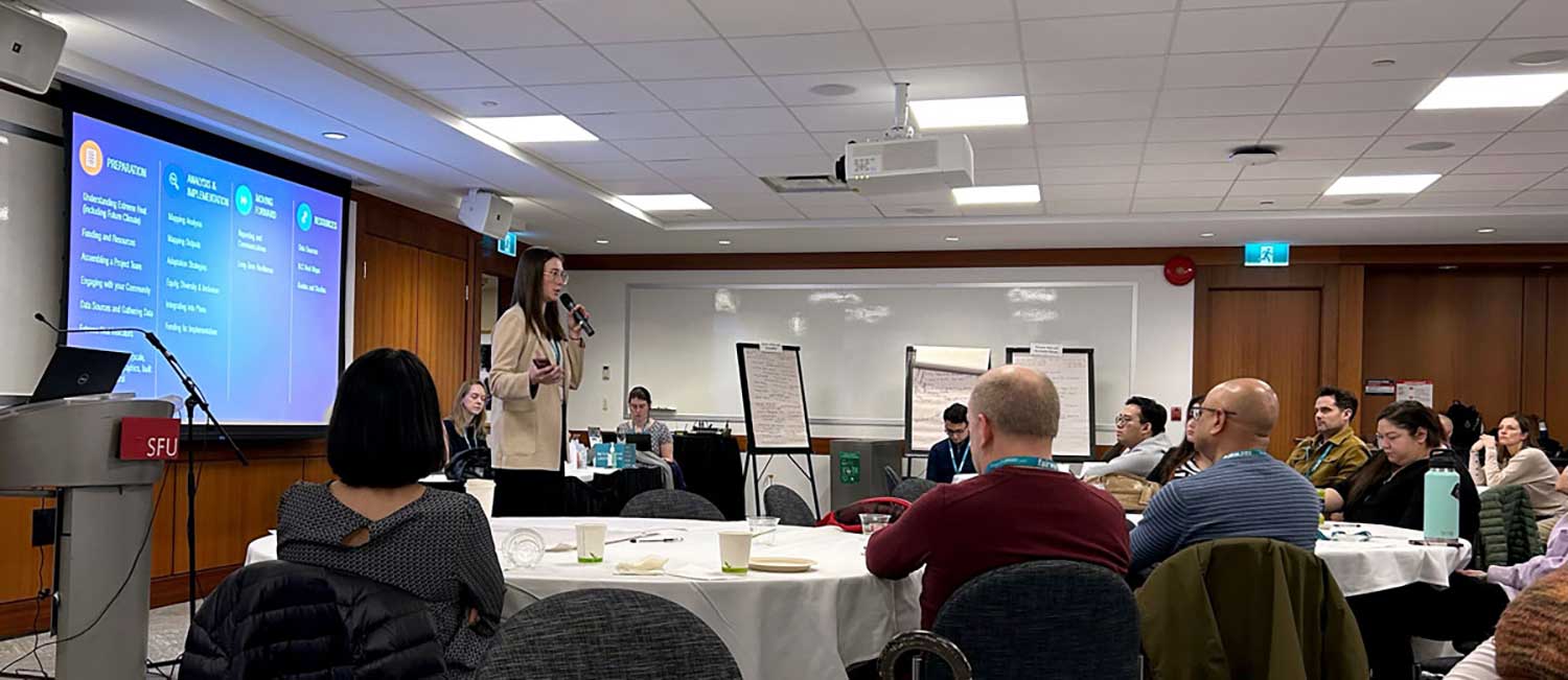
Extreme heat mapping is a new practice to B.C. and there are currently no set standards or guidelines for undertaking extreme heat hazard, risk and adaptation mapping. In 2023-2024 the project has created opportunities for peer learning and collaboration on understanding extreme heat impacts and establish best practices relevant to First Nations, Treaty Nations, local governments, and public sector organizations in B.C.
More on the Project
Water Scarcity Mapping Practices

The State of Water Scarcity in BC
In the face of escalating climate change impacts, water scarcity has emerged as a critical challenge, especially for regions experiencing rapid urbanization and environmental shifts. Under climate change, British Columbia is witnessing:
About the Water Scarcity Mapping Practices Project
A 2024-2025 project — Developing Best Practices and Guidance for Water Scarcity Hazard, Risk and Adaptation Mapping — is addressing the urgent need for comprehensive water resource management tools across communities in British Columbia.
Before developing a response plan for water scarcity, BC communities have a need for mapping to gather data on the extent of water scarcity in their regions. By distilling local and global best practices, conducting in-depth research, and engaging with diverse key actors, the goal is to provide actionable solutions for addressing water scarcity impacts for First Nations, Treaty Nations, local governments and public sector organizations in B.C. A comprehensive research report and guidance framework on water scarcity mapping will support communities in making informed decisions, ensuring a resilient response to water scarcity under climate change.
More on the Project
Learn More
The Fraser Basin Council is leading work on the mapping practices projects. These were initiated with funding support from the Ministry of Emergency Management and Climate Readiness and technical support from GeoBC.
To find project materials as they complete, along with other resources on climate adaptation, visit:
Contacts:
Eliana Chia
Program Manager, Climate Change
Fraser Basin Council
Amanda Broad
Manager, Disaster Mitigation and Adaptation Policy
Ministry of Emergency Management and Climate Readiness


