Clinton & Area
The Clinton & Area Community Wildfire Preparedness Roundtable facilitates the coordination and communication of organizations responsible for wildfire preparedness and risk reduction in the region.
Participants include local government, First Nations, volunteer fire departments, fire brigades, ranchers and those in the forest industry.

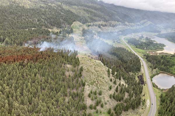
The Roundtable held its inaugural meeting in February 2020, focusing its efforts on an area that extends from south of Clinton, west to Kelly Lake, Jesmond and Big Bar Lake, north to 70 Mile House, and east to the North Bonaparte area and Loon Lake. Much of this area was burned in the 2017 Elephant Hill Wildfire.
While a community wildfire resiliency plan was in development, fuel management projects were carried out through the leadership of the Village of Clinton and others. The Clinton Community Forest and the 100 Mile House Natural Resource District have also pursued fuel management treatments in the area.
The Fraser Basin Council provides facilitation and secretariat support to the Roundtable.
Clinton & Area Community Wildfire Resiliency Plan
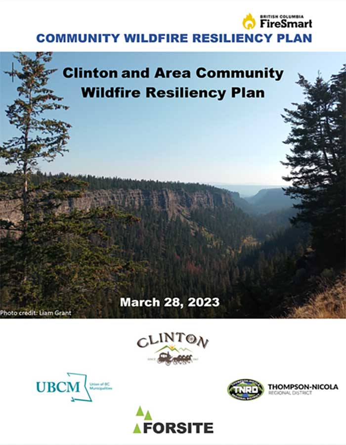
n March 2023 the Village of Clinton and Thompson-Nicola Regional District completed a Community Wildfire Resiliency Plan (CWRP) for the Village of Clinton and a large area of TNRD Electoral Area E (Jesmond, Big Bar Lake, Meadow Lake, Chasm and Loon Lake).
The plan is aimed at improving wildfire preparedness and mitigating losses from possible emergency events. The plan serves as a guide and identifies a number of actions to mitigate risks and reduce fire hazard in and around the community and promote FireSmart awareness.
Community Wildfire Resiliency Plan Maps
Here are the key maps for the Clinton CWRP.
Here is drone overview footage of a shaded fuel break northwest of Clinton that was developed in winter 2022/23 as a step in wildfire risk reduction.
Other Maps of Clinton & Area
Maps related to the 2023 Community Wildfire Resiliency Plan are listed above. These maps for general reference.
Terms of Reference
Meeting Materials
Contact
The Clinton & Area Community Wildfire Roundtable is facilitated by the Fraser Basin Council.
You can reach the Roundtable by contacting:
Alex de Chantal
Regional Manager, Thompson-Okanagan


